Destin · Fort Walton Beach · Gulf of Mexico
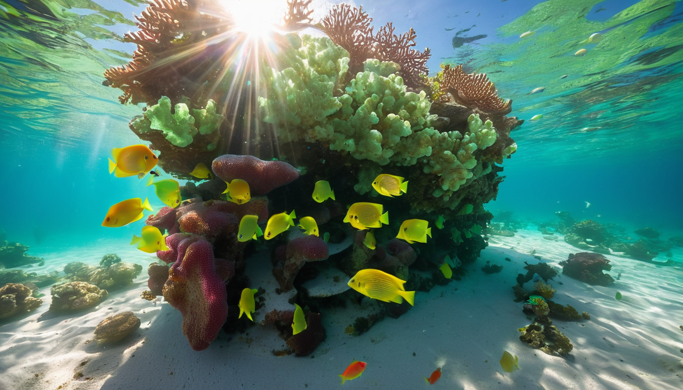
The long list, off the water's edge
These are the reefs you don't swim to. Most of them sit too far out or too deep to reach from the sand, so they're for boaters, anglers and scuba divers. As of 2024 Okaloosa County had deployed more than 275 artificial reef structures across about 133 sites off Destin and Fort Walton Beach, ranging in size from six to twenty five feet. Add in the years before that and the county counts nearly 400 artificial reef sites offshore. It's one of the most active artificial reef programs in Florida.
The structures range from sunken vessels and old concrete to modern prefabricated modules and even the region's first 3D printed artificial reef, built to give marine life complex new places to settle. Some are in twenty or thirty feet of water. Others drop much deeper for advanced dives.
🚤 Types of reefs to know
- Sunken vessels — retired boats and ships placed as dive sites and fish habitat.
- Prefab concrete modules — purpose built reef units, often in clusters.
- 3D printed reef — textured, printed structures that mimic natural rock for marine life.
- Steel and limestone piles — older style reef deployments for bottom habitat.
🗺️ The offshore list
The full set of named offshore sites runs long, and new ones are added regularly. The best live source is the Destin Fort Walton Beach Tourism artificial reef map, which lists every public site with exact coordinates, depth and what to expect. Here are the ones visitors most often ask about:
- The named dive reefs off Destin — several marked sites south of Destin in open Gulf water, reached only by boat.
- Sunken vessel sites — retired boats in deeper water, favorites for divers.
- The 3D printed reef — one of the first in the region, built for a natural rock like habitat.
- Open Gulf bottom clusters — rows of concrete and steel reef modules laid in lines for fishing and habitat.
For exact coordinates and up to date depth on every site, check the official Destin Fort Walton Beach reef map and its downloadable GPX files. A dive flag is required whenever you're diving, and many of the deeper sites need an experienced crew.
🔗 Explore more
🐠 The swim reefs
Shore reefs you can reach swimming or on a paddleboard.
🗺️ Beach map
Find access points and shore reefs.
🚩 Today's flags
Conditions before you head out.
🏖️ Destin
The coverage area hub.