Walton County · Highway 30A · Florida
The short answer
The fishing off Destin is good partly because the bottom is not empty. State and county programs have sunk barges, bridge spans, concrete modules and even aircraft on the sandy bottom within a few miles of the pass, and those structures hold grouper, amberjack, snapper and baitfish. The Okaloosa County artificial reef program and Florida's statewide reef program run most of it, and the coordinates are published. Divers use the shallow structures, and the charter fleet fishes the deeper ones. You do not need to know the numbers yourself: the charter captains do.
📋 Artificial Reefs at a glance
| Who builds them | Okaloosa County's artificial reef program and the state's Florida Fish and Wildlife reef program. |
| What gets sunk | Barges, bridge spans, concrete modules, limestone rubble, and some aircraft and vessels. |
| Where | Within a few miles of Destin Pass and off Okaloosa Island, in 40 to 120 feet of water depending on the site. |
| Coordinates | Published by the county and state programs, so boaters can find them. |
| Fishing | Grouper, amberjack, snapper, triggerfish and king mackerel over the structures. |
| Diving | The shallow sites are recreational dives; deeper sites need advanced certification. |
| Charter access | The Destin fleet fishes these sites daily. Ask the captain which site they plan to run. |
| Why they work | Structure concentrates baitfish, which concentrates predators. |
🏖️ What Artificial Reefs is actually like
Artificial reefs are a blunt solution to a flat coast. The bottom here is sand for miles, which means no cover, which means no baitfish, which means no big fish. Sink a barge and within a season it is a living structure: algae, then invertebrates, then baitfish, then grouper sitting in the lee of it waiting for something to swim past. The state has been doing this since the 1970s and the results are the reason the Destin charter fleet can run a half-day trip and still put clients on fish.
The diving side is the underrated part. The shallow sites are within recreational limits and hold the same fish plus turtles, rays and the occasional nurse shark. Visibility varies with the season and the surf, sometimes sixty feet and sometimes fifteen. Dive operators out of Destin run these sites, and the county publishes the coordinates for private boats.
The honest caveat is that a reef is not a natural reef. It is a structure, and a heavily fished one. The fish are there, but they are also pressured, and the biggest grouper on the popular sites have seen a lot of hooks. If you want the wild version, the natural hard bottom further offshore is better, and it is a longer boat ride.
❓ Artificial Reefs questions
What are the artificial reefs off Destin?
Sunk barges, bridge spans, concrete modules and some vessels placed by the county and state reef programs to create fish habitat on a sandy bottom.
Can you dive the reefs?
Yes. The shallow sites are within recreational limits and operators out of Destin run trips to them.
How deep are they?
Roughly 40 to 120 feet depending on the site. The shallow ones are the recreational dives.
Can you find the coordinates?
Yes. Okaloosa County and the state reef program publish coordinates for boaters.
What fish are on the reefs?
Grouper, amberjack, snapper, triggerfish and king mackerel, plus baitfish and the usual reef invertebrates.
Do charter boats fish them?
Yes, daily. Ask your captain which site they plan to fish, as the fleet rotates between them.
When were they built?
Florida's reef program started in the 1970s and Okaloosa County has added sites continuously since. New material goes in most years.
Are they bad for the environment?
Generally no, when the material is clean and purpose-built. Older sinkings of tires and scrap metal were less successful, and modern programs use concrete and steel hulls.
ℹ️ About this page
We check this page against public sources and answer everything we can, but access rules, fees, hours and businesses do change without notice, so confirm anything that matters for your trip. If you find something here that is wrong or out of date, let us know and we will look into it and correct the page.
Why there are animals under the water
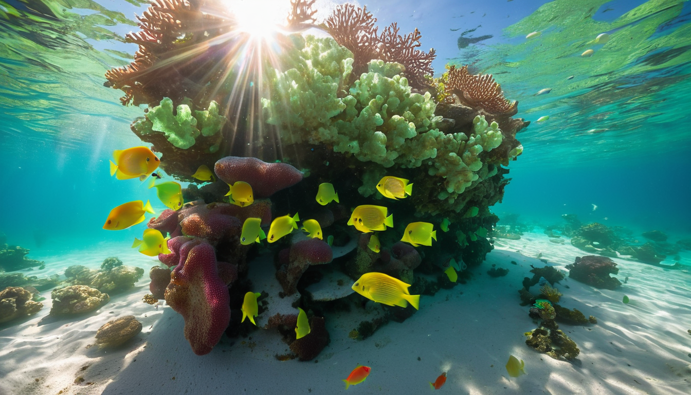
Since 2015 the South Walton Artificial Reef Association has been sinking life into the shallow Gulf just off 30A. These aren't old boats and tires. They're structured reefs built from concrete, steel and limestone, and a few of them are shaped like the animals you'll meet while snorkeling. They sit close to shore, only about 200 to 300 yards out in roughly 12 to 20 feet of water, which means you can paddle out, kayak out or just swim out on a calm day.
Each reef is its own little neighborhood. Because the structures give fish somewhere to hide and feed, they draw in sergeant majors, gray snapper, spadefish, angelfish and the occasional sea turtle or nurse shark. In the fall you can even find octopus hiding around the edges. You'll also see crabs skittering across the structures, which is where that fun crab mention comes from, even if there's no crab shaped reef of its own.
🐬 The four snorkel reefs
- Dolphin Reef, off Miramar Beach, about 12 to 20 feet deep.
- Sea Turtle Reef, off Grayton Beach State Park, about 12 to 19 feet deep.
- Seahorse Reef, off Topsail Hill Preserve State Park, about 13 to 18 feet deep.
- Grouper Reef, off Inlet Beach, about 12 to 21 feet deep.
Look for the posted reef signs on the beach. Most point you straight out to two yellow posts that line up with the reef sitting on the outer edge of the second sandbar. All four are on the beach map.
🤿 How to visit one
- Bring a mask, snorkel and fins, reef safe sunscreen and a float vest or paddleboard.
- Fly a dive flag while you're in the water so boats can see you.
- Go early on a calm day, ideally before 10 in the morning for the clearest water.
- Respect the reef. Take only pictures and leave only bubbles. It's a protected habitat.
🧭 All the shore reefs
These are the reefs you can reach from the sand on a calm day. Each one has its own page.
- 🐬 Henderson Beach State Park Reef in Destin
- 🐠 John Beasley Park Reef in Fort Walton Beach
- 🐠 Okaloosa Island Reef near Beach Access 4
- 🦀 Crab Trap Reef in Destin
- 🐠 Destin Jetties & East Pass by the harbor
For the reefs that need a boat or a scuba dive, see the full offshore & dive reef list.
🔗 Explore more
🗺️ Beach map
See the reef locations pinned.
🚩 Today's flags
Check conditions before you go.
🐢 Sea turtles
The turtles you might see out there.
🏖️ Crab Island
The famous nearby sandbar.